SOLUTION
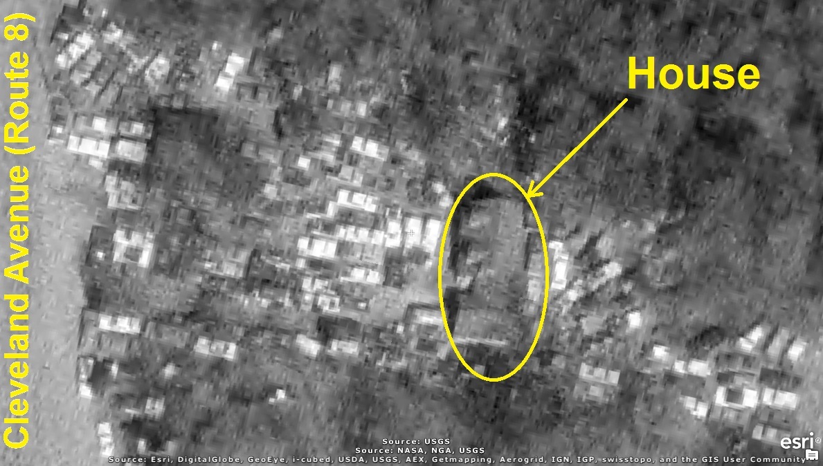
It's the property on the east side of Cleveland Avenue between Uniontown and Greentown.
Notice the house, in the yellow circle below, completely surrounded by many junked cars packed
tightly around it:
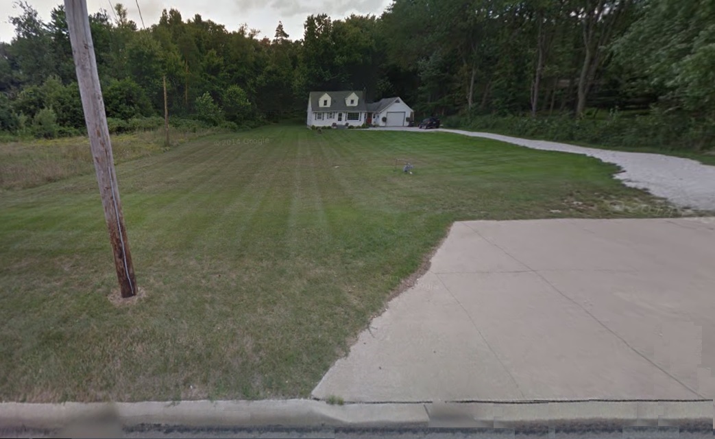
Fortunately, the serious danger to drivers and very visible eye-sore has finally been removed.
However, what toxic chemicals continue to lurk in and under ground and thus continue to impose a
danger to the entire community and future generations? For example, toxic liquids such as spilled
(or deliberately dumped) antifreeze, oils and fluids containing heavy metals, battery acid, mercury,
refrigerants, gasoline, and grease, as well as solids such as lead and asbestos that continue to
spread and contaminate the environment?
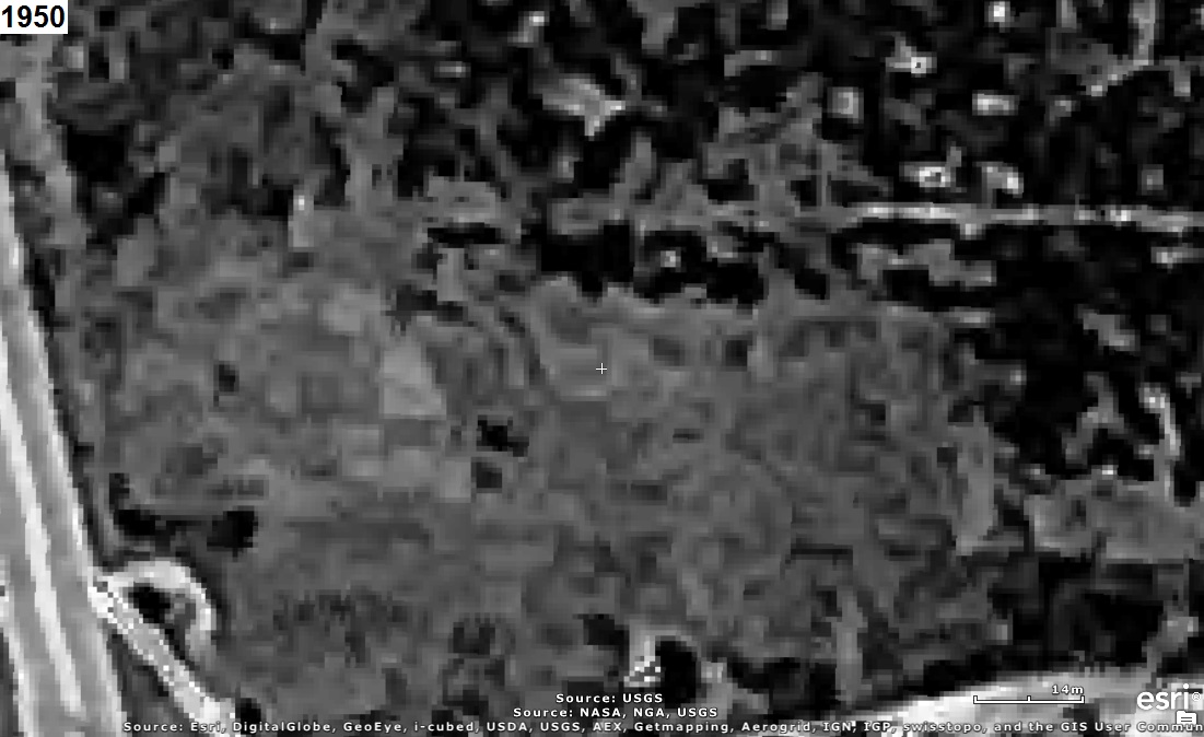
The aerial photo below includes a red rectangle to identify the area in the aerial photos above.
NOTE:
The red polygons north and southwest of the area above identify the following sites that the
Environmental Protection Agency (EPA) believes and has documented as being "responsible for
negatively impacting the surrounding groundwater with the potential of presenting a significant
human health concern":
Industrial Excess Landfill (IEL), Superfund Site, Uniontown, Ohio, U.S. EPA ID: OHD000377911
WISE ROAD DISPOSAL SITE, Green Township, Summit County, Ohio, U.S. EPA ID: OH0001328350
Those sites are investigated, explained, and explored in
The Green History Detectives
SOLUTIONs for
Episode 5
and
Episode 23
respectively.
Also included are Boettler Auto Salvage, Jonesy's Auto Salvage, and the GREENTOWN DUMP (a.k.a.
Miller Landfill) Greentown, Stark County, Ohio, U.S. EPA ID: OH002342509 as explored in
The Green History Detectives
SOLUTIONs for
Episode 24,
Episode 27,
and
Episode 31
respectively.