WELCOME to THE GREEN HISTORY DETECTIVES
Episode 27
The buttons above images are identified and described below:
BUTTON
DESCRIPTION
<<BACK
Go Back to the previous image in the set
NEXT>>
Go to the Next image in the set
ZOOM IN
Zoom into image
NORMAL
Restore image to initial size
ZOOM OUT
Zoom out of image
Repeating an operation is most effectively performed by clicking
on a button and then pressing the enter key repeatedly as desired.
Panning is most effectively performed by using the cursor keys.
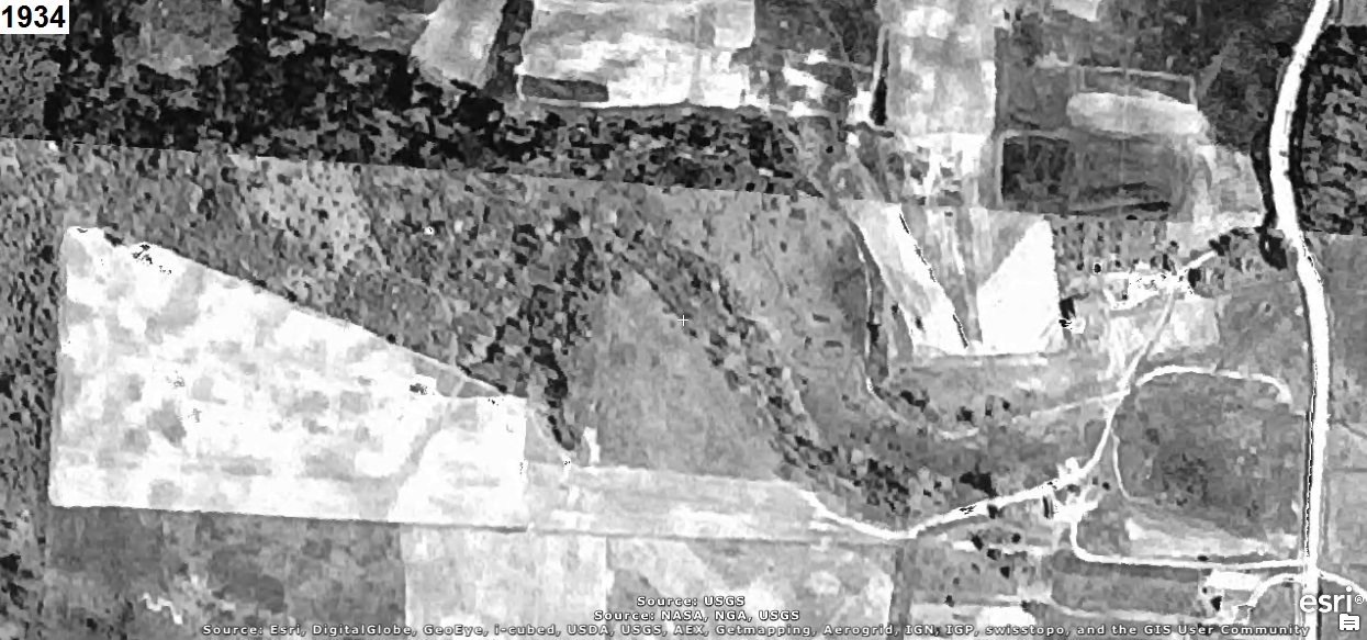
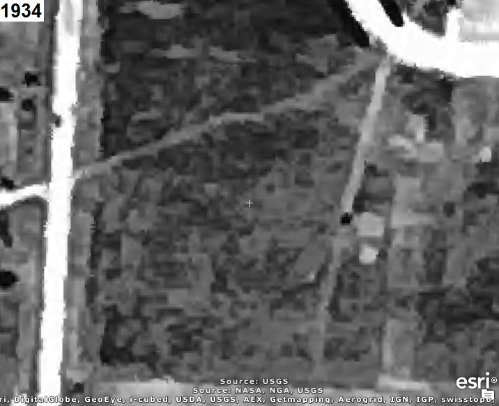
Who can tell us what the area in the aerial photograph(s) below is of?
The year that each aerial photo was taken is given in the upper left corner of the photo.
The clues will consist of adding another aerial photo of a later year to the set.
CLUE:
There are no more clues.
CAUTION!!!
WARNING!!!
ALERT!!!
The solution is given below.
DO NOT scroll down further
UNLESS you would like to see the solution.
SOLUTION
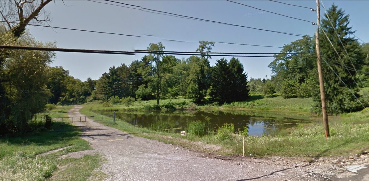
It's Pine Valley Lake Park, which was previously known as Bob's Lake.
The Google Maps Car photo below from August 2011 shows the entrance to the park:
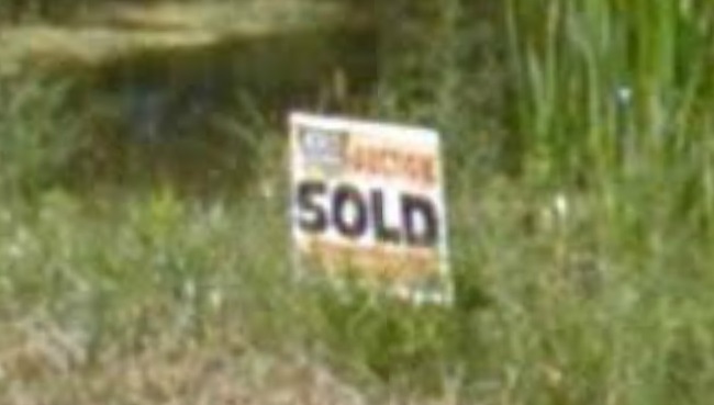
Upon closer examination of the photo above, it can be seen below that it was sold at auction:
The aerial photo below includes a white rectangle to identify the area in the aerial photos above:
NOTE:
The red polygons far northeast and far east of the area above identify the following sites that
the Environmental Protection Agency (EPA) believes and has documented as being "responsible for
negatively impacting the surrounding groundwater with the potential of presenting a significant
human health concern": Industrial Excess Landfill (IEL), Superfund Site, Uniontown, Ohio, U.S. EPA ID: OHD000377911 WISE ROAD DISPOSAL SITE, Green Township, Summit County, Ohio, U.S. EPA ID: OH0001328350
Those sites are investigated, explained, and explored in the
The Green History Detectives
SOLUTIONs for Episode 5
and
Episode 23
respectively.
And in the red polygons to the northeast is Jonesy's Auto Salvage and farther northeast is Boettler
Auto Salvage as explored in
The Green History Detectives
SOLUTION for
Episode 24
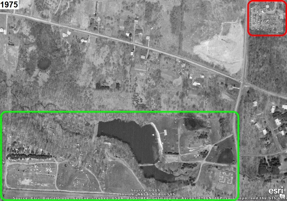
The aerial photograph below from 1975 includes a green rectangle (lower left) to identify Pine
Valley Lake Park and a red rectangle (upper right) to identify Jonesy's Auto Salvage:
The aerial photos below are of Jonesy's Auto Salvage: