WELCOME to
THE GREEN HISTORY DETECTIVES
Episode 58

The buttons above images are identified and described below:
     BUTTON    DESCRIPTION
     <<BACK    Go Back to the previous image in the set
     NEXT>>    Go to the Next image in the set
     ZOOM IN    Zoom into image
     NORMAL    Restore image to initial size
     ZOOM OUT    Zoom out of image
Repeating an operation is most effectively performed by clicking
on a button and then pressing the enter key repeatedly as desired.
Panning is most effectively performed by using the cursor keys.

All other Episodes are available at THE GREEN HISTORY DETECTIVES


Episode 58

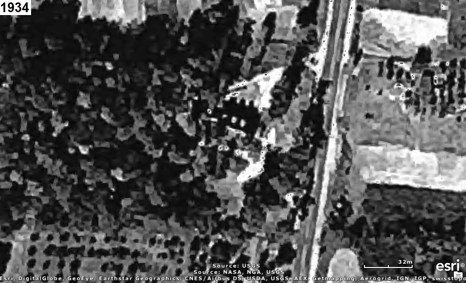
Who can tell us what large building was once located in the middle of the aerial photograph(s) below?
The year that each aerial photo was taken is given in the upper left corner of the photo.
The clues will consist of adding another aerial photo of a later year to the set.

Please see: Consumer And Child Safety ALERT


VIDEO CLUE:

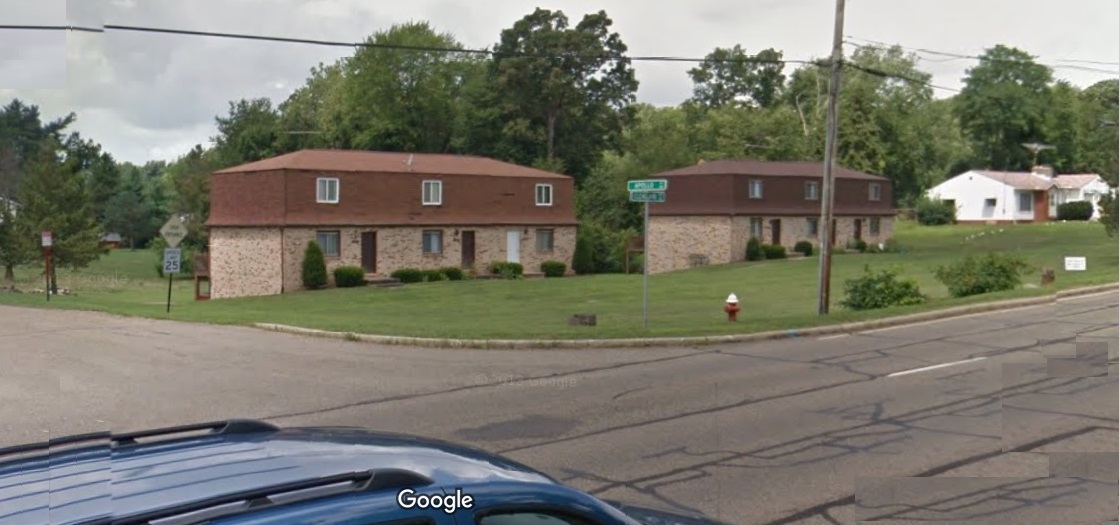
FINAL CLUE: Below is a recent Google Maps Street View of the area:


CAUTION!!!

WARNING!!!

ALERT!!!

The solution is given below.

DO NOT scroll down further

UNLESS you would like to see the solution.


SOLUTION


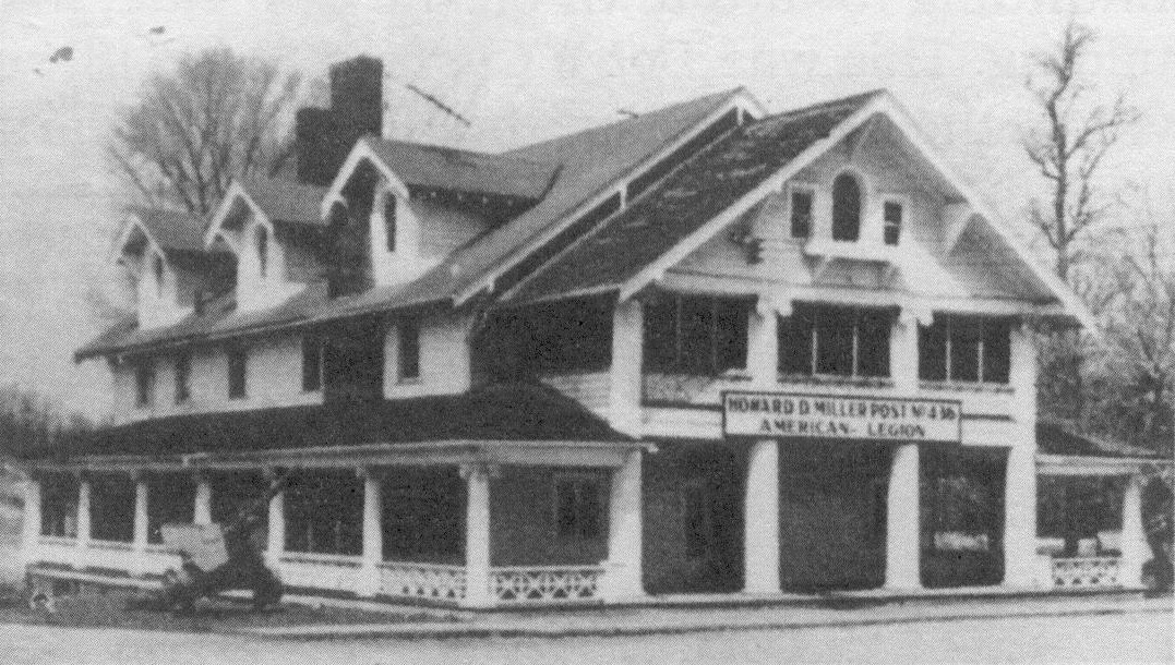
It's where The Colonial Inn (later the American Legion Post) was once located in Uniontown
where Apollo Street is now:

As written by Bruce Heisler:

This was a very big old building. At one time it was a roadhouse - gambling hall with a
big 5-6 foot high iron fence around it. There was a real thick door leading to the third
floor where the real gambling took place. It was said that Al Capone used to come here.
I believe it was owned by a man by the name of Axlerod. It was sold to the American
Legion Post. When I was growing up, Mr. and Mrs. Carl Palmer ran it as the Colonial Inn
and later Mr.and Mrs. Ray Bourn and others ran it for the Legion. Lloyd Grable bought it
and eventually decided to burn it down and make housing on the land. Some of this land
became the Uniontown Community Park.
Below is a recent Google Maps Street View of the area at Cleveland Avenue and Apollo Street:

The aerial photo below includes a white rectangle to identify the area in the aerial photos above:


AmazingCounters.com