WELCOME to
THE GREEN HISTORY DETECTIVES
Episode 42

The buttons above images are identified and described below:
     BUTTON    DESCRIPTION
     <<BACK    Go Back to the previous image in the set
     NEXT>>    Go to the Next image in the set
     ZOOM IN    Zoom into image
     NORMAL    Restore image to initial size
     ZOOM OUT    Zoom out of image
Repeating an operation is most effectively performed by clicking
on a button and then pressing the enter key repeatedly as desired.
Panning is most effectively performed by using the cursor keys.

All other Episodes are available at THE GREEN HISTORY DETECTIVES


Episode 42

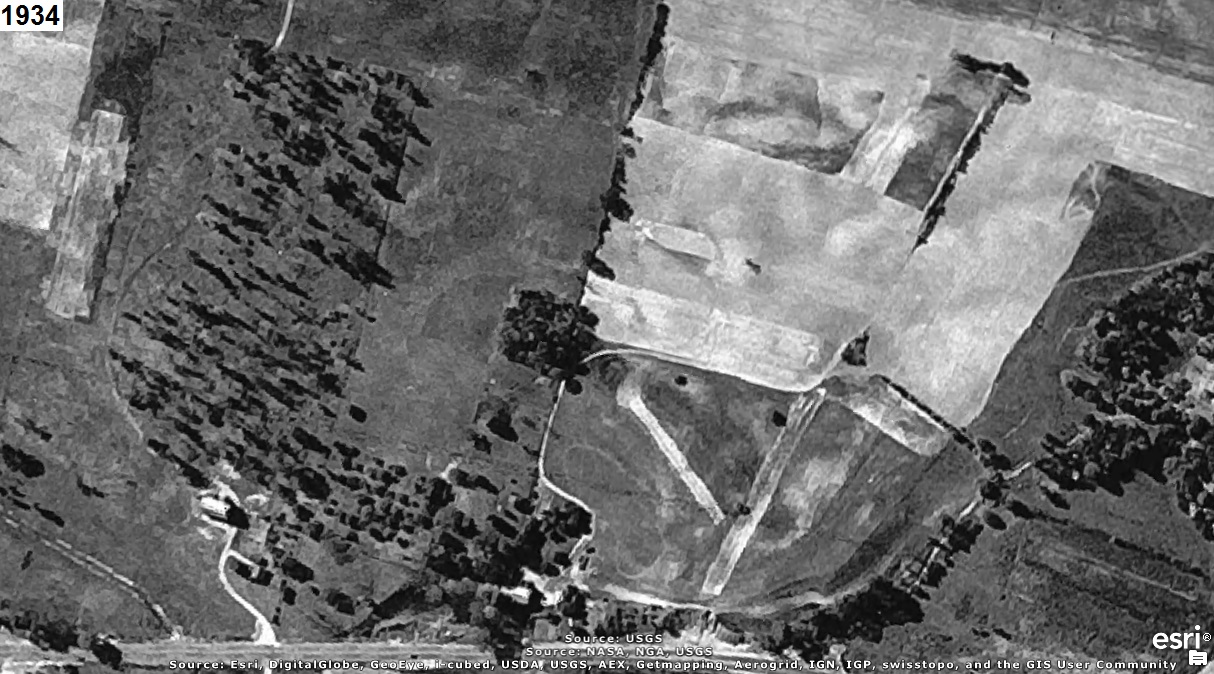
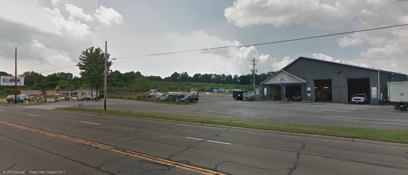
Who can tell us what was where the aerial photograph(s) below were taken?
The year that each aerial photo was taken is given in the upper left corner of the photo.
The clues will consist of adding another aerial photo of a later year to the set.


CLUE #1:

The aerial photos are oriented with north-northwest to the right (i.e. west-southwest is up) to
use the computer screen most effectively.

CLUE #2:

CLUE #3:

It is very close to the third worst Superfund Site in the entire nation that served as a waste dump
for Akron rubber companies.


CAUTION!!!

WARNING!!!

ALERT!!!

The solution is given below.

DO NOT scroll down further

UNLESS you would like to see the solution.


SOLUTION


It's where Uniontown Sand & Gravel was.

The aerial photo below includes a white rectangle to identify the area in the aerial photos above
and a red polygon to identify the Industrial Excess Landfill (IEL), Superfund Site:

NOTE:
   The IEL Superfund Site, Uniontown, Ohio, U.S. EPA ID: OHD000377911 was investigated, explained,
   and explored in the SOLUTION for Episode 5. That Uniontown toxic waste landfill has been called the third
   worst Superfund Site in the entire nation and served as a waste dump for Akron rubber companies.


counter free