WELCOME to
THE GREEN HISTORY DETECTIVES
Episode 41

The buttons above images are identified and described below:
     BUTTON    DESCRIPTION
     <<BACK    Go Back to the previous image in the set
     NEXT>>    Go to the Next image in the set
     ZOOM IN    Zoom into image
     NORMAL    Restore image to initial size
     ZOOM OUT    Zoom out of image
Repeating an operation is most effectively performed by clicking
on a button and then pressing the enter key repeatedly as desired.
Panning is most effectively performed by using the cursor keys.

All other Episodes are available at THE GREEN HISTORY DETECTIVES


Episode 41

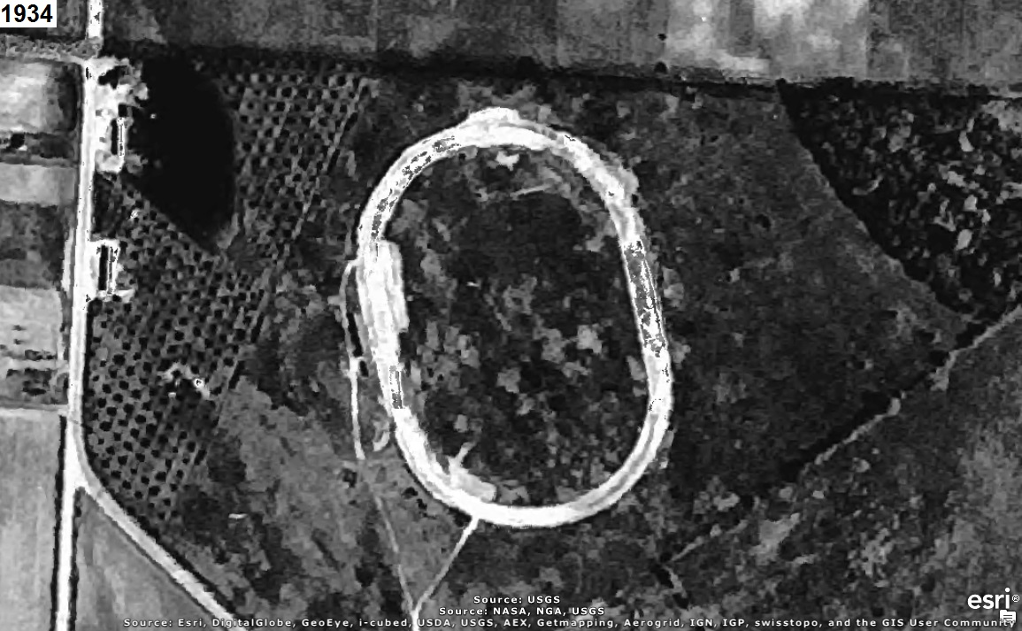
Who can tell us what was at the oval in the aerial photograph(s) below?
The year that each aerial photo was taken is given in the upper left corner of the photo.
The clues will consist of adding another aerial photo of a later year to the set.


CLUE #1:

The aerial photos are oriented with north-northwest to the right (i.e. west-southwest is up) to
use the computer screen most effectively.

CLUE #2:

CLUE #2:


CAUTION!!!

WARNING!!!

ALERT!!!

The solution is given below.

DO NOT scroll down further

UNLESS you would like to see the solution.


SOLUTION


It's where the author was told was a horse track at Arlington Road and Greensburg Road at the
end of Caston Road.

A person from Akron reported that:

My dad and uncles used tell stories of how they would go to the horse track on south Arlington
to watch, as they put it, the ponies. From what I gathered it was similar to Ascot and was owned
by the same group. They used to say they raced buggies. I assume would be harness. Now this is from
the 30's up to WWII when they all went off to war. The photo shows what looks like Arlington and
that would be the area we would drive by and my pops would tell us there was a track there. No way
to verify this as they have all passed.
The aerial photo below includes a white rectangle to identify the area in the aerial photos above:


counter free