WELCOME to
THE GREEN HISTORY DETECTIVES
Episode 35

The buttons above images are identified and described below:
     BUTTON    DESCRIPTION
     <<BACK    Go Back to the previous image in the set
     NEXT>>    Go to the Next image in the set
     ZOOM IN    Zoom into image
     NORMAL    Restore image to initial size
     ZOOM OUT    Zoom out of image
Repeating an operation is most effectively performed by clicking
on a button and then pressing the enter key repeatedly as desired.
Panning is most effectively performed by using the cursor keys.

All other Episodes are available at THE GREEN HISTORY DETECTIVES


Episode 35

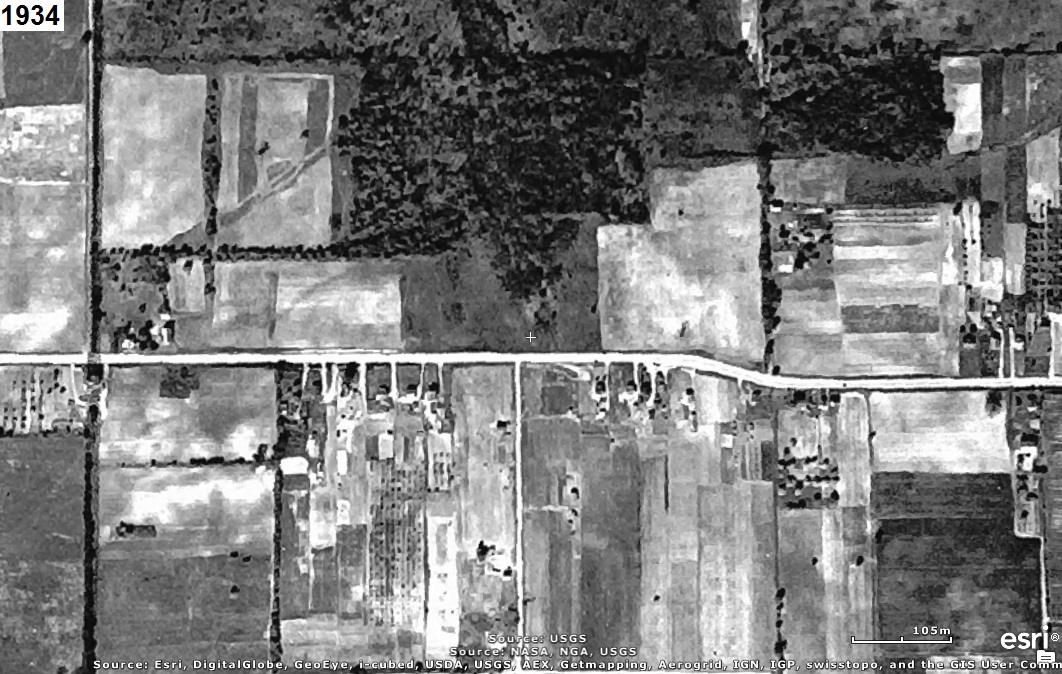
Who can tell us what the area in the aerial photograph(s) below is of?
The year that each aerial photo was taken is given in the upper left corner of the photo.
The clues will consist of adding another aerial photo of a later year to the set.


CLUE:

The aerial photos are oriented with north to the right (i.e. west is up) to use the computer screen
most effectively.


CAUTION!!!

WARNING!!!

ALERT!!!

The solution is given below.

DO NOT scroll down further

UNLESS you would like to see the solution.


SOLUTION


The area is at Interstate 77 (a.k.a.Vietnam Veterans Memorial Hwy) and Arlington Road.
The aerial photo below includes a white rectangle to identify the area in the aerial photos above.
The former Clarkins was to the southwest, Al Thompson Chevrolet to the southeast, and KMart to the
northeast.


hitwebcounter.com