WELCOME to
THE GREEN HISTORY DETECTIVES
Episode 25

The buttons above images are identified and described below:
     BUTTON    DESCRIPTION
     <<BACK    Go Back to the previous image in the set
     NEXT>>    Go to the Next image in the set
     ZOOM IN    Zoom into image
     NORMAL    Restore image to initial size
     ZOOM OUT    Zoom out of image
Repeating an operation is most effectively performed by clicking
on a button and then pressing the enter key repeatedly as desired.
Panning is most effectively performed by using the cursor keys.

All other Episodes are available at THE GREEN HISTORY DETECTIVES


Episode 25

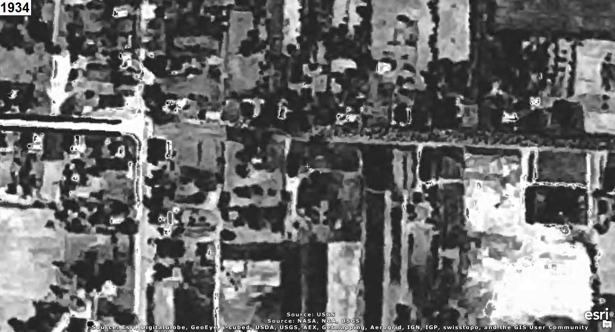
Who can identify a building in each quadrant of the crossroad (towards the left) in the aerial
photograph(s) below?
The year that each aerial photo was taken is given in the upper left corner of the photo.
The clues will consist of adding another aerial photo of a later year to the set.


CLUE:

There are no more clues.


CAUTION!!!

WARNING!!!

ALERT!!!

The solution is given below.

DO NOT scroll down further

UNLESS you would like to see the solution.


SOLUTION


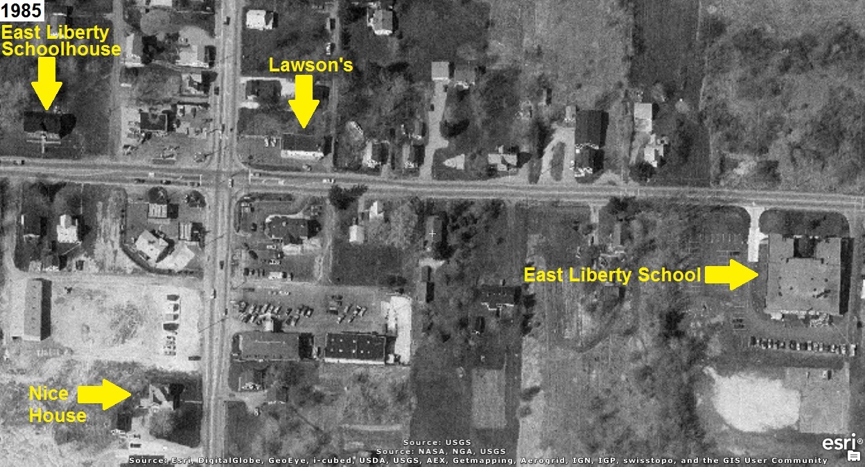
The crossroad is Arlington Road and Route 619 (a.k.a. East Turkeyfoot Lake Road).
A building in each quadrant is identified in the 1985 aerial photo below:

Information about the East Liberty Schoolhouse is provided by the Green Historical Society at:
East Liberty Schoolhouse

Information about Lawson's is provided by the Cuyahoga Falls Historical Society at:
Lawson’s, A Cuyahoga Falls Original

Information about East Liberty School is not available.

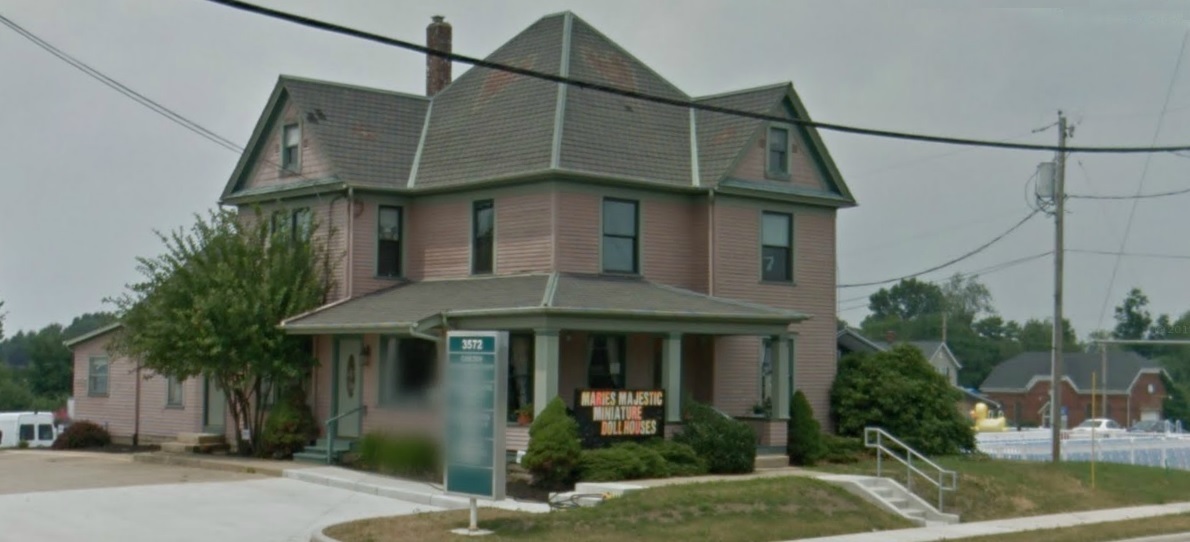
The Nice House is shown below in the Google Maps Car photo from July 2011.
Notice the beautiful hearts and flowers on the roof and the East Liberty Schoolhouse
in the background (lower right) that was built in 1890:
(Notice that you CAN zoom in extremely close.)

The Nice House can also be seen at the Google Maps URL link: Nice House
(Notice that you CANNOT zoom in extremely close.)


hitwebcounter.com