WELCOME to
THE GREEN HISTORY DETECTIVES
Episode 21

The buttons above images are identified and described below:
     BUTTON    DESCRIPTION
     <<BACK    Go Back to the previous image in the set
     NEXT>>    Go to the Next image in the set
     ZOOM IN    Zoom into image
     NORMAL    Restore image to initial size
     ZOOM OUT    Zoom out of image
Repeating an operation is most effectively performed by clicking
on a button and then pressing the enter key repeatedly as desired.
Panning is most effectively performed by using the cursor keys.

All other Episodes are available at THE GREEN HISTORY DETECTIVES


Episode 21

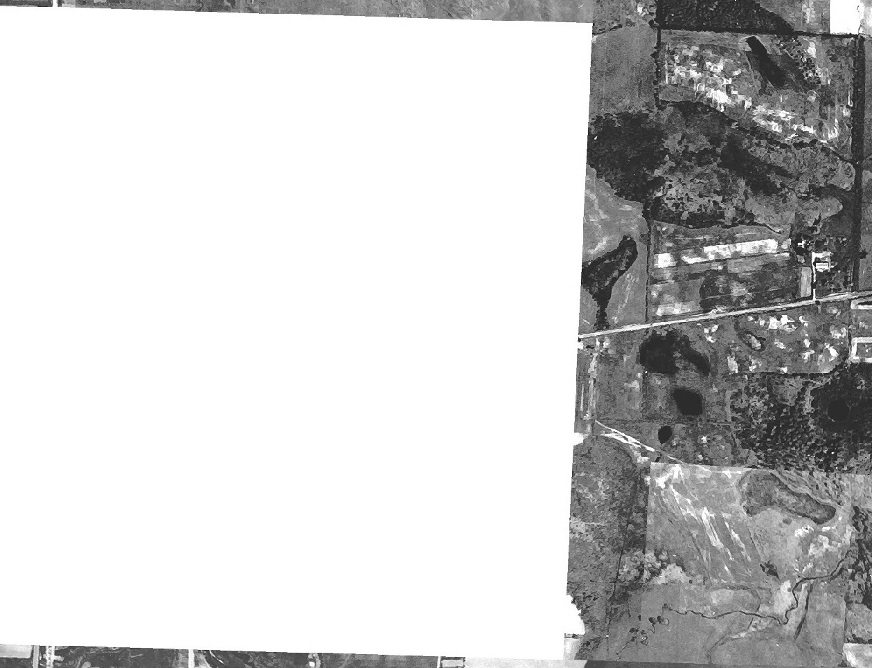
Who can tell us what area the aerial photo below is of?


Clue #1:

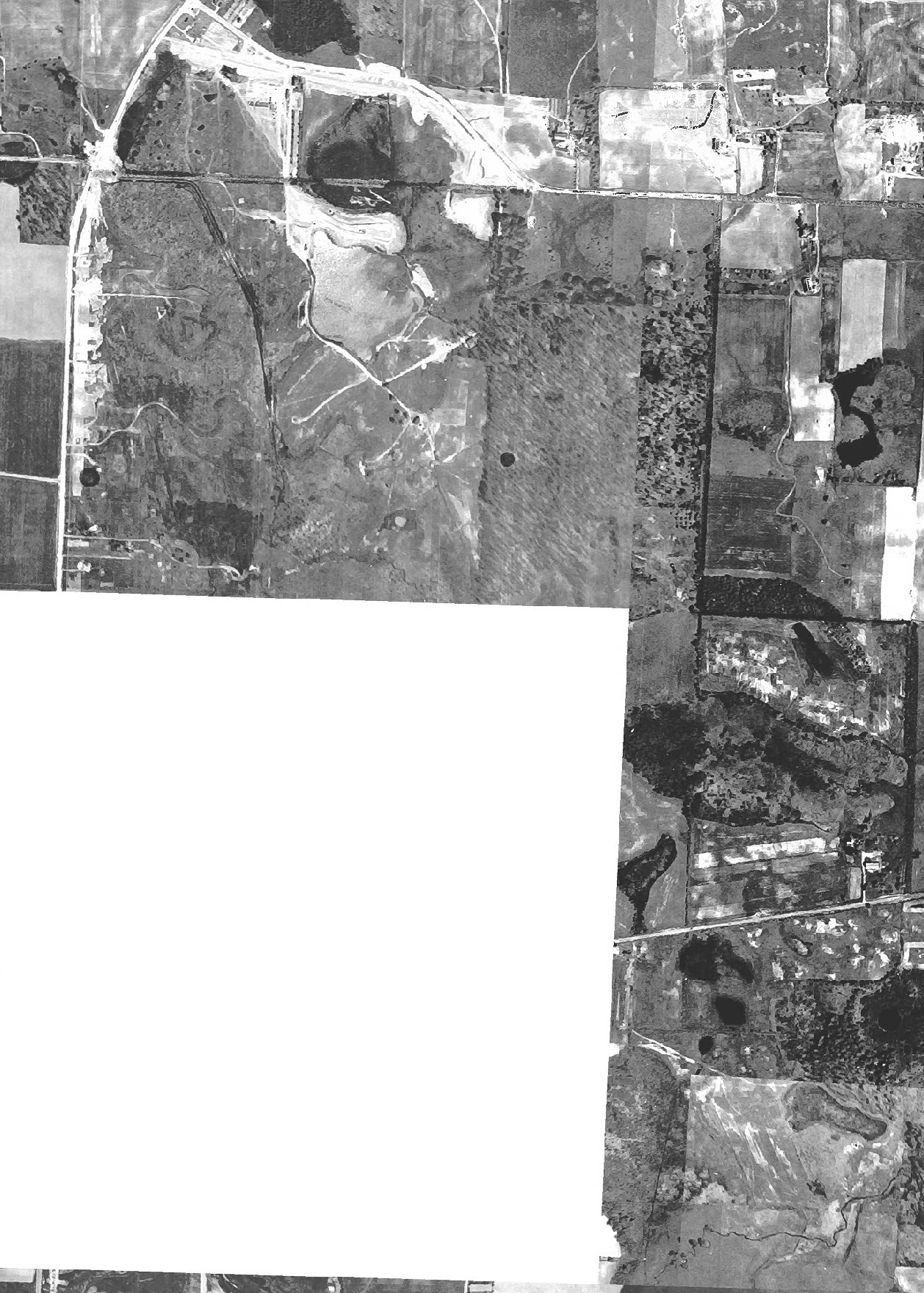
More area of the aerial photo is given below:

Clue #2:

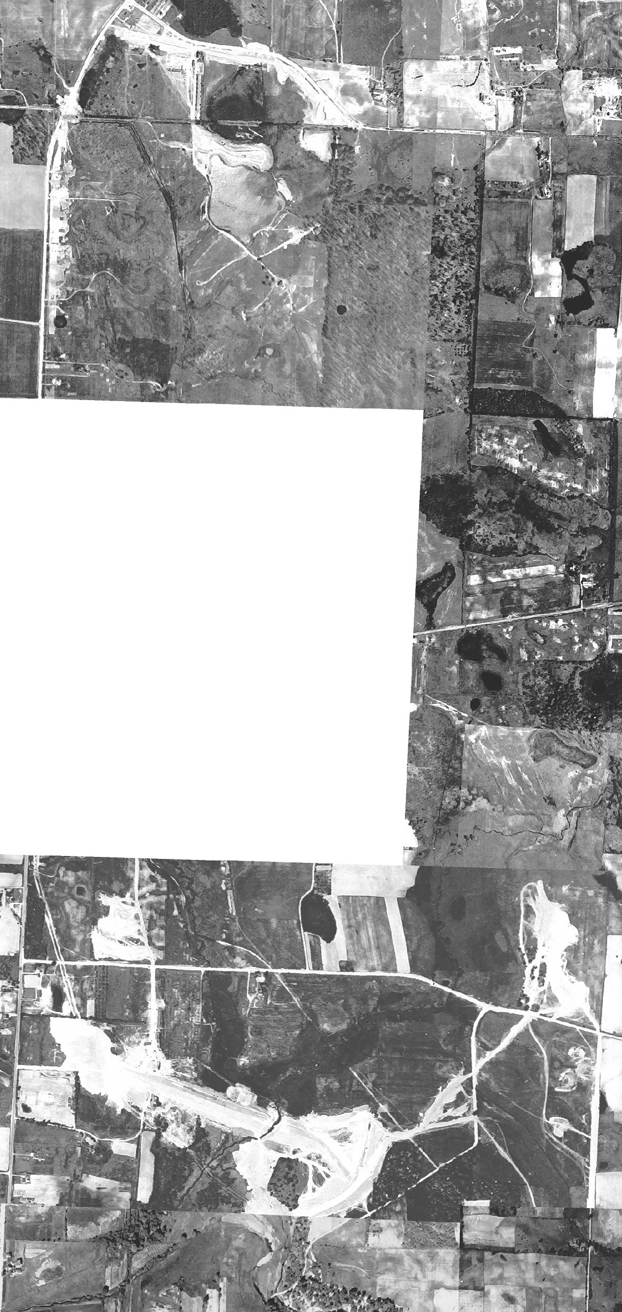
More area of the aerial photo is given below:

Clue #3:

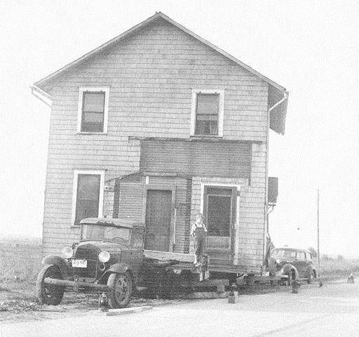
The house in the photo below is somewhere in that area:


CAUTION!!!

WARNING!!!

ALERT!!!

The solution is given below.

DO NOT scroll down further

UNLESS you would like to see the solution.


SOLUTION


The aerial photo above was taken in 1934 and is of the area before Nimisila Reservoir was created.
The Nimisila Reservoir was the last of the Portage Lakes to be created.
Nimisila Reservoir was built in 1936 by the Works Progress Administration to provide more
water for the area and to provide work for people in the area during the Great Depression.


View Larger Map

The set of photos below consists of the 1934 aerial photo and a 1950 and 1980 aerial photo.
It is not known why a portion of the center of the aerial photo from 1934 is missing.

The Portage Lakes consist of the lakes and reservoirs as identified below from north to south:

  1. Nesmith Lake
  2. Long Lake
  3. Dollar Lake
  4. North Reservoir
  5. East Reservoir
  6. West Reservoir
  7. Hower Lake
  8. Grape Lake
  9. Miller Lake
  10. Rex Lake
  11. Turkeyfoot Lake
  12. Mud Lake
  13. Nimisila Reservoir

View Larger Map


hitwebcounter.com