WELCOME to
THE GREEN HISTORY DETECTIVES
Episode 13

The buttons above images are identified and described below:
     BUTTON    DESCRIPTION
     <<BACK    Go Back to the previous image in the set
     NEXT>>    Go to the Next image in the set
     ZOOM IN    Zoom into image
     NORMAL    Restore image to initial size
     ZOOM OUT    Zoom out of image
Repeating an operation is most effectively performed by clicking
on a button and then pressing the enter key repeatedly as desired.
Panning is most effectively performed by using the cursor keys.

All other Episodes are available at THE GREEN HISTORY DETECTIVES


Episode 13

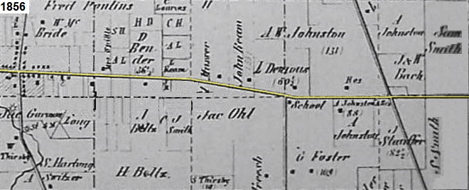
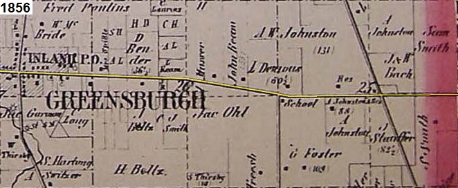
Who can tell us what the stretch of road is, as marked in yellow, in the set of four maps below from
1856, 1874, 1891, and 1910?


Clue #1:

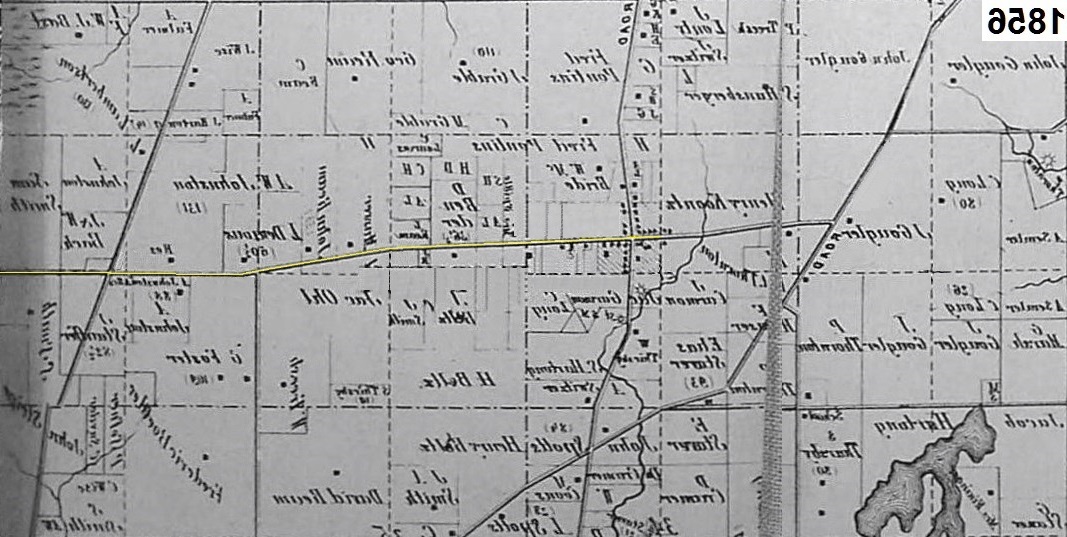
A larger area of the maps are shown below at a different orientation:


CAUTION!!!

WARNING!!!

ALERT!!!

The solution is given below.

DO NOT scroll down further

UNLESS you would like to see the solution.


SOLUTION


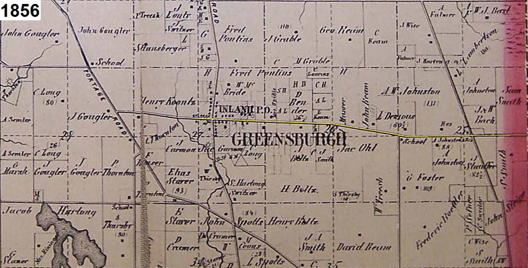
The stretch of road is Greensburg Road from Greensburg, Ohio to Aultman, Ohio (i.e. to the Stark County line).

A larger area of the maps are shown below:

That is:
FROM (Left): Point B (B = Bridenthal Ford) at Latitude: N40.931556° / Longitude: W81.466214°
TO (Right): Point A (A = Aultman, Ohio) at Latitude: N40.928497° / Longitude: W81.419364°


View Larger Map

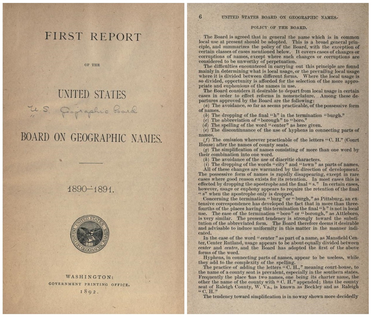
Notice in the maps above that the 'h' in "Greensburgh" was dropped after 1891.
This was the result of item (b) on page 6 of the
'FIRST REPORT OF THE UNITED STATES BOARD ON GEOGRAPHIC NAMES. 1890-1891'
of 1892 as shown below and stated as:

(b) The dropping of the final "h" in the termination "burgh."


www.hitwebcounter.com
<>