WELCOME to
THE GREEN HISTORY DETECTIVES
Episode 29

The buttons above images are identified and described below:
     BUTTON    DESCRIPTION
     CHANGE    Change to the other image in the set
     ZOOM IN    Zoom into image
     NORMAL    Restore image to initial size
     ZOOM OUT    Zoom out of image
Repeating an operation is most effectively performed by clicking
on a button and then pressing the enter key repeatedly as desired.
Panning is most effectively performed by using the cursor keys.

All other Episodes are available at THE GREEN HISTORY DETECTIVES


Episode 29

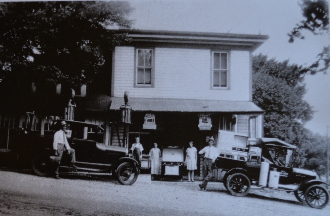
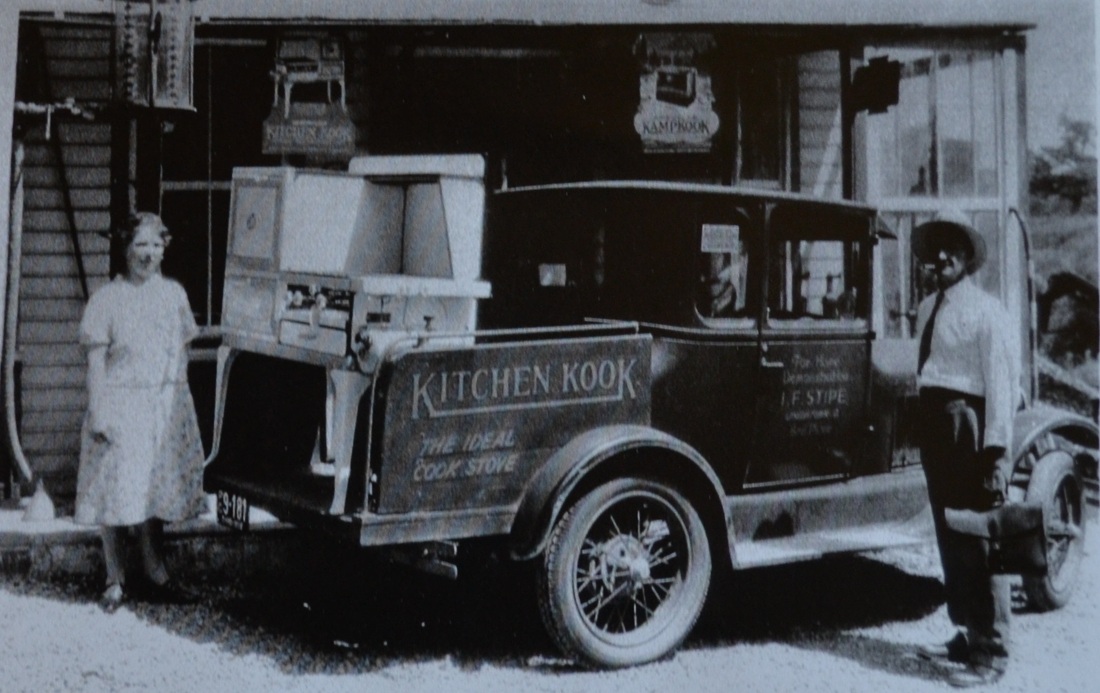
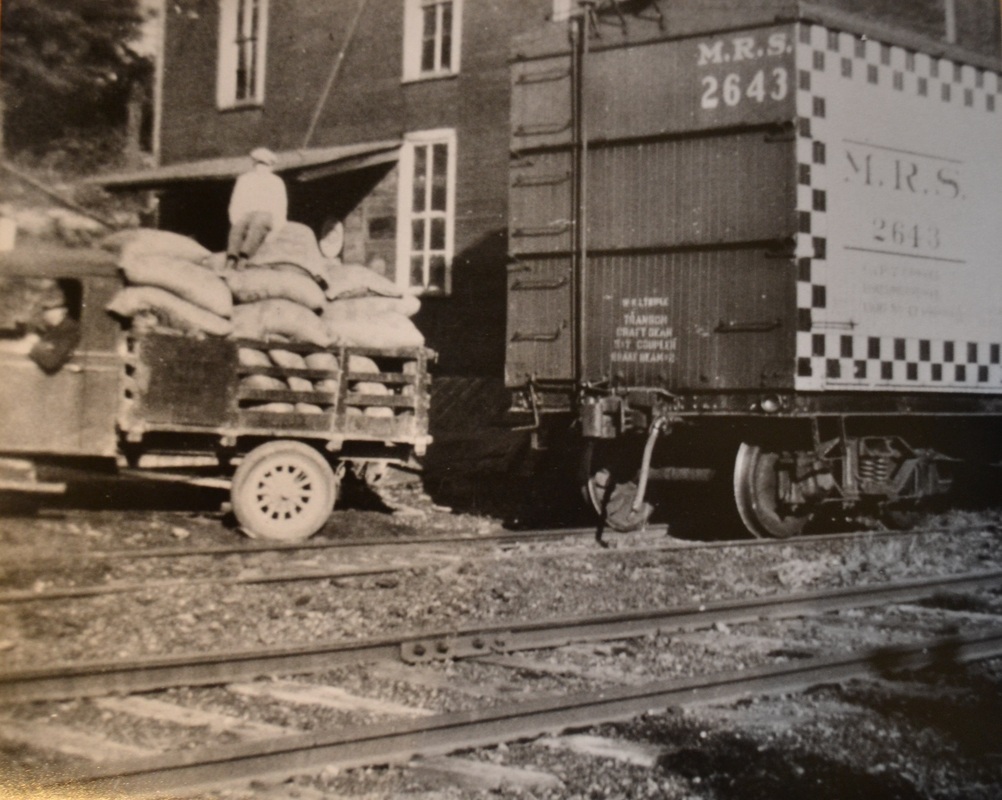
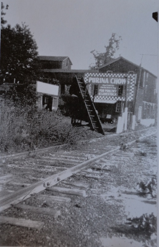
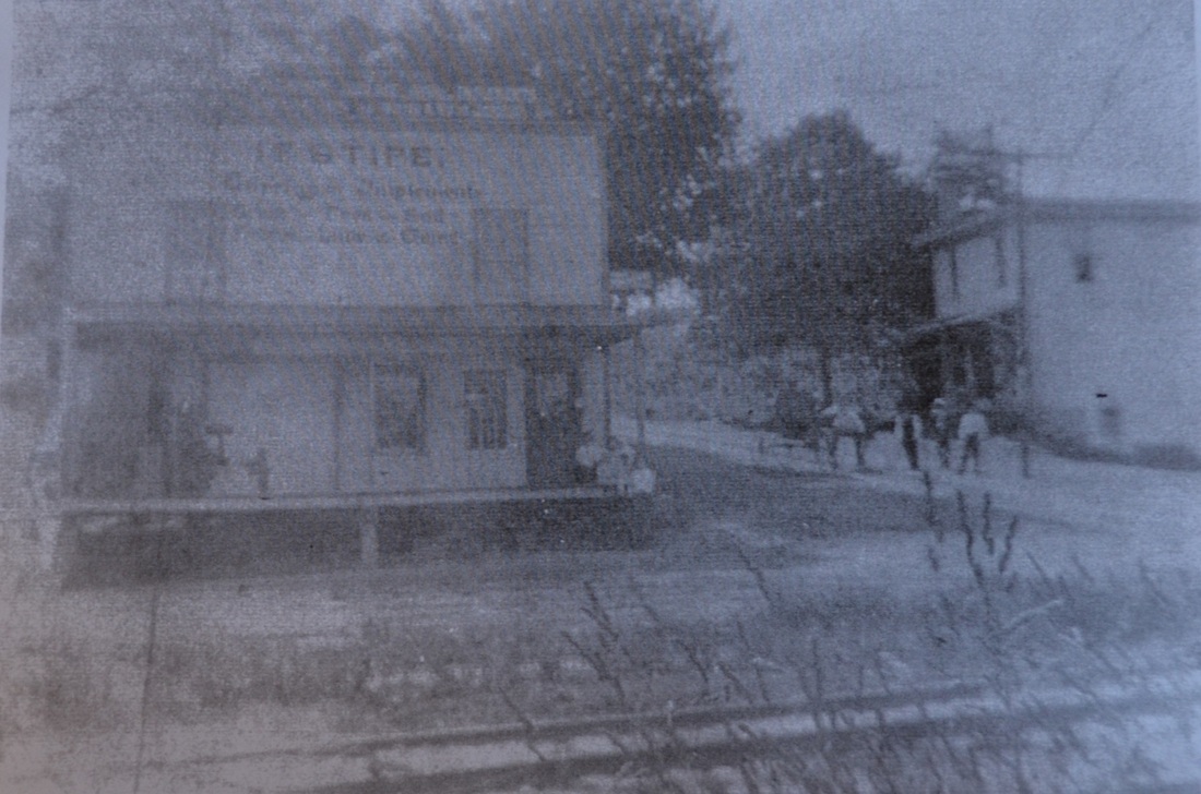
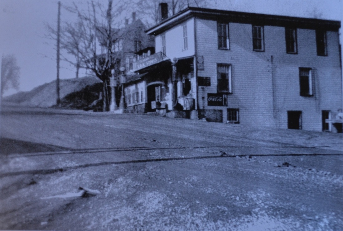
Who can tell us where the photos below were taken?


Clue #1:

Another photo is given below:

Clue #2:

Another photo is given below:

Clue #3:

Another photo is given below:

Clue #4:

Another photo is given below:

Clue #5:

Another photo is given below:

Clue #6:

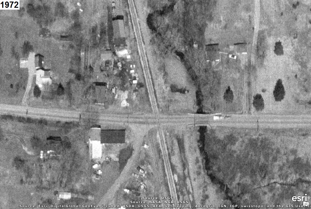
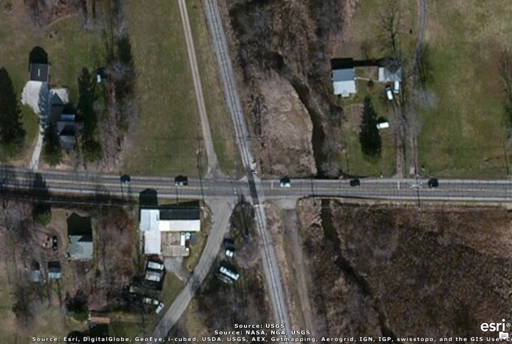
An aerial photo is given below:


CAUTION!!!

WARNING!!!

ALERT!!!

The solution is given below.

DO NOT scroll down further

UNLESS you would like to see the solution.


SOLUTION


The photos, from the Green Historical Society Myersville page, were taken in Myersville, Ohio.
According to the History of Summit County page, it was to be the most important village of
Green Township. The first house in the area was built in 1876, the railroad came through in 1879,
and grain was sold there beginning in 1880. It also had a sawmill, store, and warehouse.

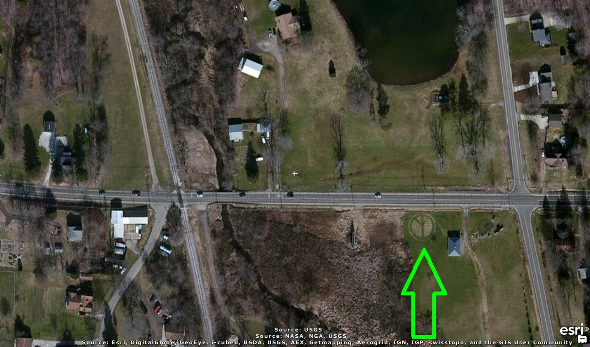
The set of photos below include Myersville Road to the east (i.e. right). Notice the Peace sign in
the grass pointed to by the green arrow in the recent photo:

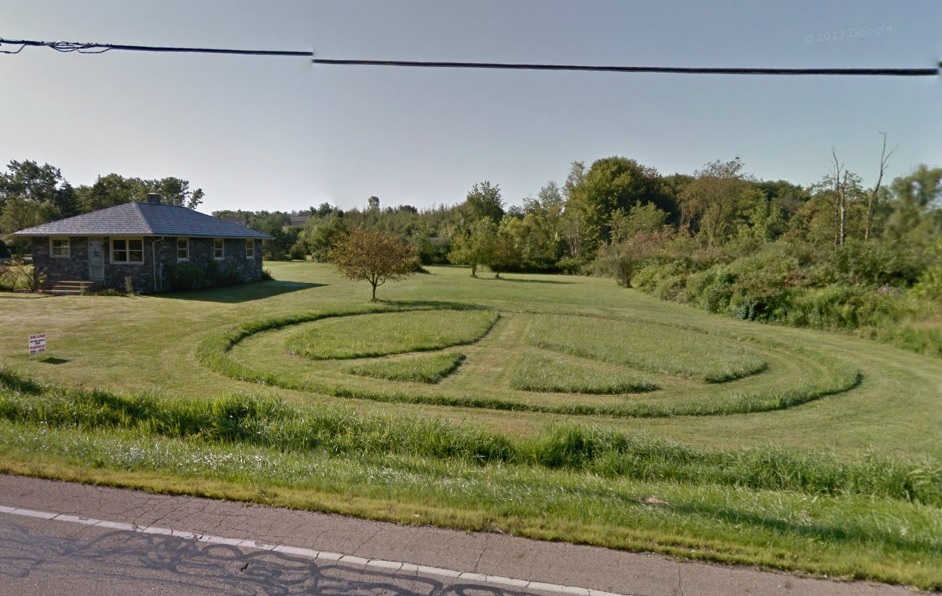
The photo below was taken by the Google Maps Car in August 2011:

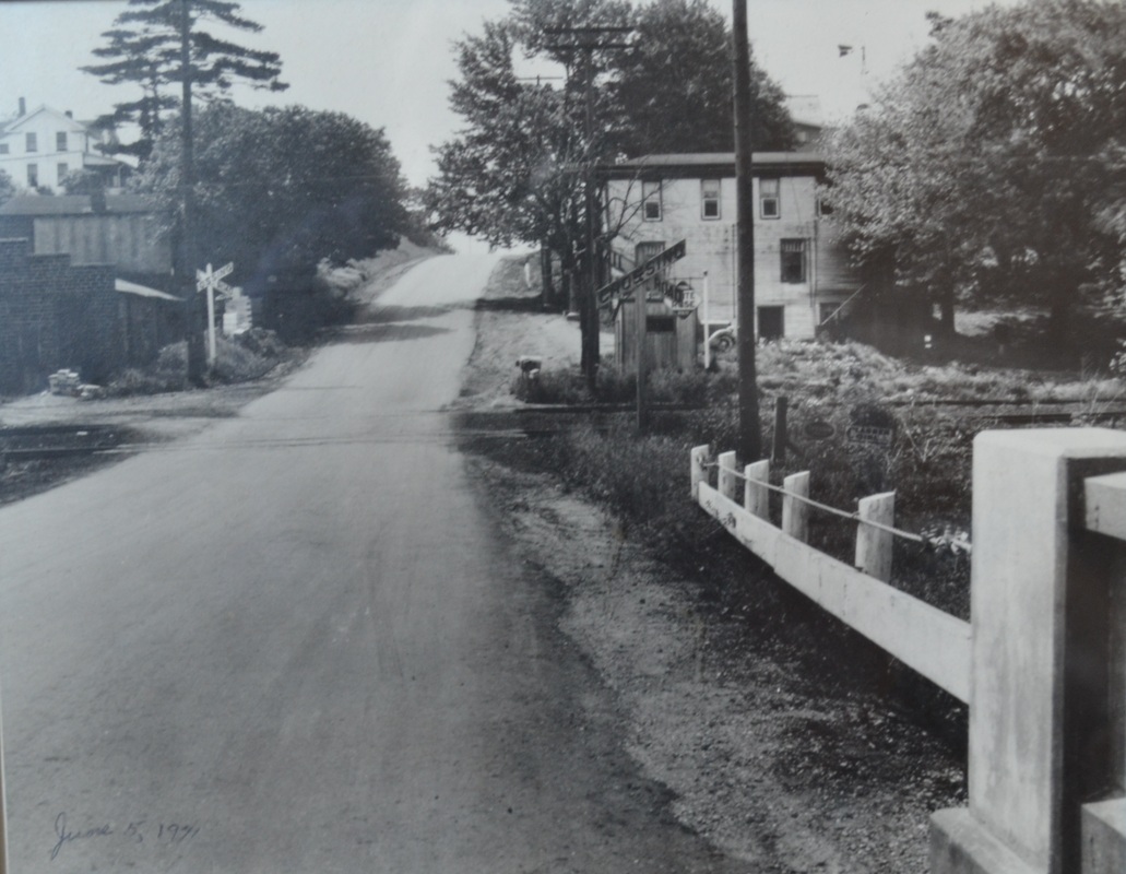
The photo below was apparently taken on June 5, 1971:

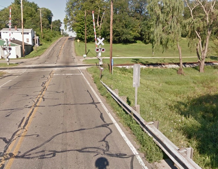
The photo below was taken 40 years later, at about the same spot as that above, by the Google Maps
Car in August 2011:


hitwebcounter.com